| Item Detail |
| |
| |
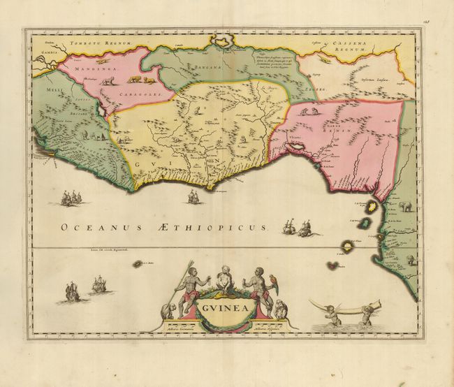
MapMaker: |
Frederick de Wit
|
|
| |
| |
Subject: |
Western Africa |
|
| |
Period/Size: |
1680 / 16.5" x 20.8" (42.0 x 52.9 cm)
|
|
| |
Color: |
Colored
|
|
| |
Condition: |
(+B) A superb impression on sheet with rich original color. There is a split in the upper centerfold that has been reinforced on the verso with archival tape. The wide margins have a couple of tears and spots, not affecting the map. (condition help) |
|
| |
Source: |
|
|
| |
References: |
cf Goss (Blaeu) pp. 148; cf Norwich #315. |
|
| |
|
|
| Sales Information |
| |
| |
Price: |
|
|
| |
| |
Offered by: |
Old World Auctions |
|
| |
Catalog: |
Auction No. 123 - Antique Maps, Charts, Atlases & Globes (652) |
|
| |
Lot/Item #: |
768 |
|
| |
| |
Date: |
02/2008
|
|
| |
| |
|