| Item Detail |
| |
| |
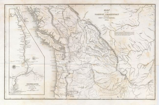
MapMaker: |
Charles Wilkes
|
|
| |
| |
Subject: |
Western Canada and United States |
|
| |
Period/Size: |
1849 / 8.0" x 13.0" (20.4 x 33.1 cm)
|
|
| |
Color: |
Black & White
|
|
| |
Condition: |
(B) Map has light foxing and a short binding tear just past neatline at right edge that has been repaired. Folded as issued. (condition help) |
|
| |
Source: |
Irving, Astoreaģ |
|
| |
References: |
Wheat (TMW) #655; Hayes 199. |
|
| |
|
|
| Sales Information |
| |
| |
Price: |
|
|
| |
| |
Offered by: |
Old World Auctions |
|
| |
Catalog: |
Auction No. 123 - Antique Maps, Charts, Atlases & Globes (652) |
|
| |
Lot/Item #: |
150 |
|
| |
| |
Date: |
02/2008
|
|
| |
| |
|