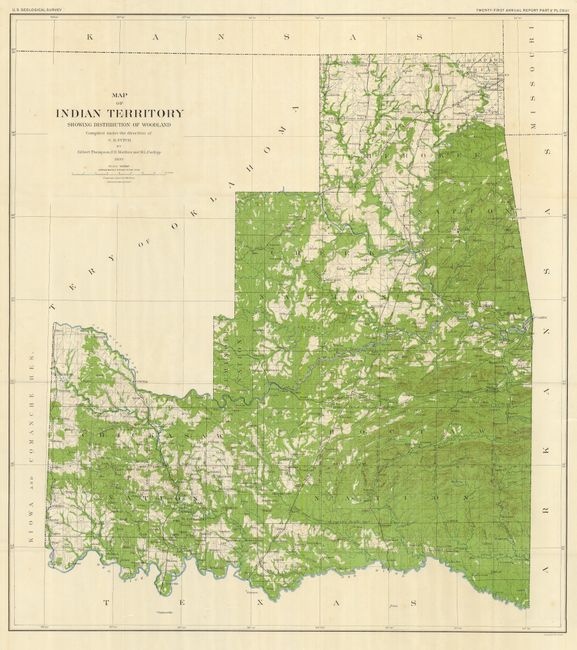
Title:
“Map of Indian Territory Showing the Distribution of Woodland”
Map Maker:
U.S. Geological Survey
Very attractive and colorful large-scale folding m... (full text available to subscribers)
| Item Detail |
| |
| |
MapMaker: |
U.S. Geological Survey
|
|
| |
| |
Subject: |
Oklahoma |
|
| |
Period/Size: |
1899 / 32.5" x 19.5" (82.6 x 49.6 cm)
|
|
| |
Color: |
Colored
|
|
| |
Condition: |
(+B) Light foxing in blank title area of title. (condition help) |
|
| |
Source: |
USGS 21st Annual Report |
|
| |
References: |
|
|
| |
|
|
| Sales Information |
| |
| |
Price: |
|
|
| |
| |
Offered by: |
Old World Auctions |
|
| |
Catalog: |
Auction No. 123 - Antique Maps, Charts, Atlases & Globes (652) |
|
| |
Lot/Item #: |
320 |
|
| |
| |
Date: |
02/2008
|
|
| |
| |
|
Antique Maps - Valuation and Pricing, Descriptions, Resources |
|
Home |
Information |
Search |
Register |
Contact Us |
Site Map
Americana Exchange, Inc. © 1999 - 2024 Americana Exchange, Inc.. All rights reserved.
OldMaps.com, the OldMaps.com logo and
AMPR are service marks or registered service marks of Americana Exchange, Inc..
|