| Item Detail |
| |
| |
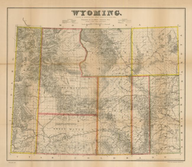
MapMaker: |
U.S. Government
|
|
| |
| |
Subject: |
Wyoming |
|
| |
Period/Size: |
1883 / 20.5" x 24.0" (52.1 x 61.0 cm)
|
|
| |
Color: |
Colored
|
|
| |
Condition: |
(B) Some fold separations and edge tears have been expertly repaired with archival tape and are nearly unnoticeable. One closed tear enters Yellowstone and some toning along folds. Shows much better than condition would suggest. (condition help) |
|
| |
Source: |
HR Doc. 1, Plt 5, 49th Congress, 1st Session |
|
| |
References: |
Wheat (TMW) #1302 (1884 ed.); Blevins, Mapping Wyoming #426; Rumsey #6490. |
|
| |
|
|
| Sales Information |
| |
| |
Price: |
|
|
| |
| |
Offered by: |
Old World Auctions |
|
| |
Catalog: |
Auction No. 123 - Antique Maps, Charts, Atlases & Globes (652) |
|
| |
Lot/Item #: |
350 |
|
| |
| |
Date: |
02/2008
|
|
| |
| |
|