| Item Detail |
| |
| |
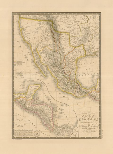
MapMaker: |
Adrien Hubert Brue
|
|
| |
| |
Subject: |
Southwest United States & Mexico |
|
| |
Period/Size: |
1825 / 20.3" x 14.5" (51.6 x 36.9 cm)
|
|
| |
Color: |
Colored
|
|
| |
Condition: |
(+B) There is some light offsetting in the map and some minor foxing in the wide original margins, well away from the map. (condition help) |
|
| |
Source: |
Atlas Universel |
|
| |
References: |
Wheat [TMW] #361. |
|
| |
|
|
| Sales Information |
| |
| |
Price: |
|
|
| |
| |
Offered by: |
Old World Auctions |
|
| |
Catalog: |
Auction No. 123 - Antique Maps, Charts, Atlases & Globes (652) |
|
| |
Lot/Item #: |
354 |
|
| |
| |
Date: |
02/2008
|
|
| |
| |
|