Title:
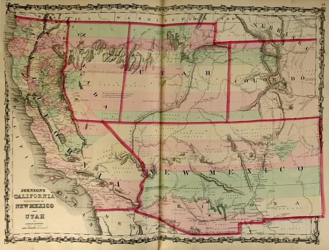
“Johnson's New Illustrated Family Atlas…”
Map Maker:
Johnson & Browning
This superb folio atlas is filled with beautiful, ... (full text available to subscribers)
| Item Detail |
| |
| |
MapMaker: |
Johnson & Browning
|
|
| |
| |
Subject: |
Atlases |
|
| |
Period/Size: |
1861 / 18.5" x 15.0" (47.0 x 38.1 cm)
|
|
| |
Color: |
Colored
|
|
| |
Condition: |
(A) A majority of the maps are very good with some minor foxing on a few sheets. The map of Ohio and Indiana is partially split along the centerfold. Covers and spine are lightly rubbed, and the corners are a bit bumped. There is a private ownership la (condition help) |
|
| |
Source: |
|
|
| |
References: |
|
|
| |
|
|
| Sales Information |
| |
| |
Price: |
|
|
| |
| |
Offered by: |
Old World Auctions |
|
| |
Catalog: |
Auction No. 123 - Antique Maps, Charts, Atlases & Globes (652) |
|
| |
Lot/Item #: |
845 |
|
| |
| |
Date: |
02/2008
|
|
| |
| |
|
Antique Maps - Valuation and Pricing, Descriptions, Resources |
|
Home |
Information |
Search |
Register |
Contact Us |
Site Map
Americana Exchange, Inc. © 1999 - 2024 Americana Exchange, Inc.. All rights reserved.
OldMaps.com, the OldMaps.com logo and
AMPR are service marks or registered service marks of Americana Exchange, Inc..
|