Title:
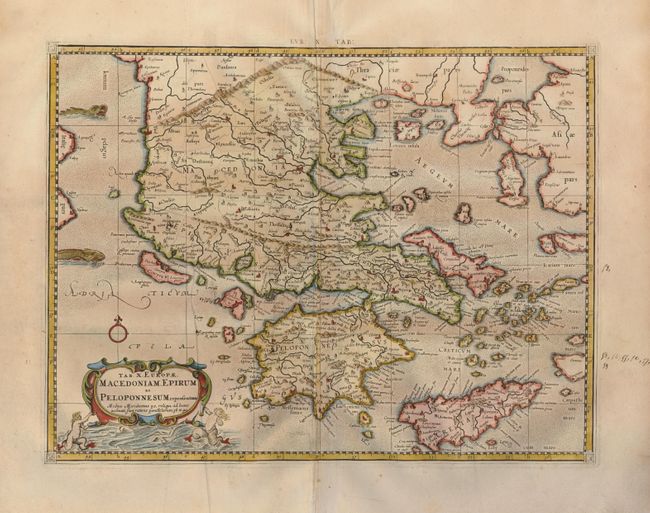
“Tab. X. Europae, Macedoniam, Epirum ac Peloponnesum Repraesentans.”
Map Maker:
Ptolemy/Mercator
A beautiful map of the Balkan Peninsula, Greece, ... (full text available to subscribers)
| Item Detail |
| |
| |
MapMaker: |
Ptolemy/Mercator
|
|
| |
| |
Subject: |
Greece and the Balkans |
|
| |
Period/Size: |
1730 / 13.4" x 17.6" (34.1 x 44.7 cm)
|
|
| |
Color: |
Colored
|
|
| |
Condition: |
(A) A nice impression on strong laid paper with a printer's crease on the left. The right margin has an ink notation in an old hand, not affecting the map. (condition help) |
|
| |
Source: |
Claudii Ptolemaei's Atlas Tabulae geographicae Orbis Terrarum |
|
| |
References: |
Mickwitz & Miekkavaara, (Nordenskiold-2) #235-28. |
|
| |
|
|
| Sales Information |
| |
| |
Price: |
|
|
| |
| |
Offered by: |
Old World Auctions |
|
| |
Catalog: |
Auction No. 123 - Antique Maps, Charts, Atlases & Globes (652) |
|
| |
Lot/Item #: |
610 |
|
| |
| |
Date: |
02/2008
|
|
| |
| |
|
Antique Maps - Valuation and Pricing, Descriptions, Resources |
|
Home |
Information |
Search |
Register |
Contact Us |
Site Map
Americana Exchange, Inc. © 1999 - 2024 Americana Exchange, Inc.. All rights reserved.
OldMaps.com, the OldMaps.com logo and
AMPR are service marks or registered service marks of Americana Exchange, Inc..
|