Title:
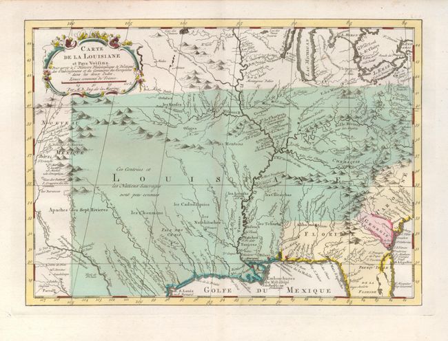
“Carte de la Louisiane et Pays Voisins”
Map Maker:
Jacques Nicolas Bellin
This is a finely engraved and detailed map of the ... (full text available to subscribers)
| Item Detail |
| |
| |
MapMaker: |
Jacques Nicolas Bellin
|
|
| |
| |
Subject: |
Colonial Southern United States |
|
| |
Period/Size: |
1773 / 8.4" x 11.7" (21.4 x 29.8 cm)
|
|
| |
Color: |
Colored
|
|
| |
Condition: |
(A) A fine impression on a sound sheet with original wash color. There is a hint of toning on the centerfold. (condition help) |
|
| |
Source: |
Raynal's Atlas Portatiff |
|
| |
References: |
|
|
| |
|
|
| Sales Information |
| |
| |
Price: |
|
|
| |
| |
Offered by: |
Old World Auctions |
|
| |
Catalog: |
Auction No. 123 - Antique Maps, Charts, Atlases & Globes (652) |
|
| |
Lot/Item #: |
187 |
|
| |
| |
Date: |
02/2008
|
|
| |
| |
|
Antique Maps - Valuation and Pricing, Descriptions, Resources |
|
Home |
Information |
Search |
Register |
Contact Us |
Site Map
Americana Exchange, Inc. © 1999 - 2024 Americana Exchange, Inc.. All rights reserved.
OldMaps.com, the OldMaps.com logo and
AMPR are service marks or registered service marks of Americana Exchange, Inc..
|