| Item Detail |
| |
| |
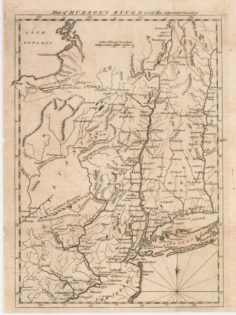
MapMaker: |
Anonymous
|
|
| |
| |
Subject: |
Colonial New England |
|
| |
Period/Size: |
1777 / 11.5" x 8.0" (29.3 x 20.4 cm)
|
|
| |
Color: |
Black & White
|
|
| |
Condition: |
(B) Crisp impression on hand laid paper with small water mark. Some light foxing or toning and two tiny fold intersection holes visible when held to the light. (condition help) |
|
| |
Source: |
Scot's Magazine |
|
| |
References: |
Jolly-SCOT #46; Phillips [M] p.323. |
|
| |
|
|
| Sales Information |
| |
| |
Price: |
|
|
| |
| |
Offered by: |
Old World Auctions |
|
| |
Catalog: |
Auction No. 123 - Antique Maps, Charts, Atlases & Globes (652) |
|
| |
Lot/Item #: |
175 |
|
| |
| |
Date: |
02/2008
|
|
| |
| |
|