Title:
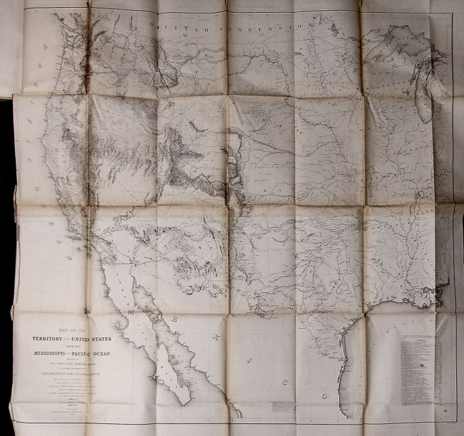
“Reports of Explorations and Surveys to Ascertain the Most Practicable and Economical Route for a Railroad from the Mississippi River to the Pacific Ocean, Made under the Direction of the Secretary of War, in 1853-1856. Volume XI”
Map Maker:
U.S. War Department
This is the unnumbered Senate version specifically... (full text available to subscribers)
| Item Detail |
| |
| |
MapMaker: |
U.S. War Department
|
|
| |
| |
Subject: |
Exploration and Surveys |
|
| |
Period/Size: |
1861 / 11.8" x 9.0" (30.0 x 22.9 cm)
|
|
| |
Color: |
Black & White
|
|
| |
Condition: |
(+B) A really lovely example of this rare issue, which is the best copy we've seen. Although we have not opened the maps, they all appear in very good condition or better. Covers are a little rubbed. (condition help) |
|
| |
Source: |
36th Cong., 2d Sess. |
|
| |
References: |
Wagner & Camp #266 |
|
| |
|
|
| Sales Information |
| |
| |
Price: |
|
|
| |
| |
Offered by: |
Old World Auctions |
|
| |
Catalog: |
Auction No. 123 - Antique Maps, Charts, Atlases & Globes (652) |
|
| |
Lot/Item #: |
874 |
|
| |
| |
Date: |
02/2008
|
|
| |
| |
|
Antique Maps - Valuation and Pricing, Descriptions, Resources |
|
Home |
Information |
Search |
Register |
Contact Us |
Site Map
Americana Exchange, Inc. © 1999 - 2024 Americana Exchange, Inc.. All rights reserved.
OldMaps.com, the OldMaps.com logo and
AMPR are service marks or registered service marks of Americana Exchange, Inc..
|