| Item Detail |
| |
| |
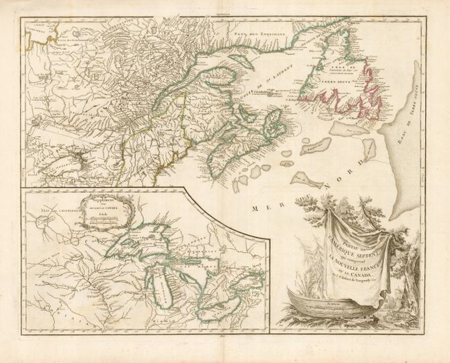
MapMaker: |
Robert de Vaugondy [Family]
|
|
| |
| |
Subject: |
Colonial United States and Canada, Great Lakes |
|
| |
Period/Size: |
1755 / 19.0" x 24.5" (48.3 x 62.3 cm)
|
|
| |
Color: |
Colored
|
|
| |
Condition: |
(A) A sound example on fine laid paper. There is a hint of irregular toning in the inset map, still very good with original outline color. (condition help) |
|
| |
Source: |
|
|
| |
References: |
Kershaw #357; Pedley #459. |
|
| |
|
|
| Sales Information |
| |
| |
Price: |
|
|
| |
| |
Offered by: |
Old World Auctions |
|
| |
Catalog: |
Auction No. 123 - Antique Maps, Charts, Atlases & Globes (652) |
|
| |
Lot/Item #: |
139 |
|
| |
| |
Date: |
02/2008
|
|
| |
| |
|