| Item Detail |
| |
| |
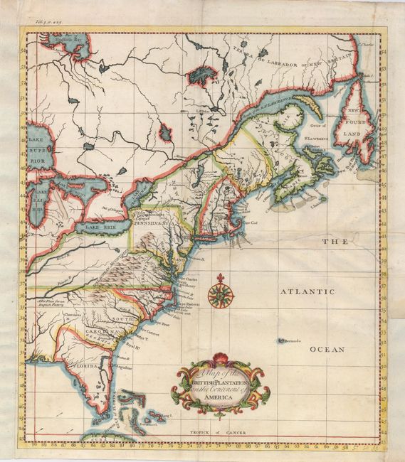
MapMaker: |
Thomas Salmon
|
|
| |
| |
Subject: |
Colonial United States and Canada |
|
| |
Period/Size: |
1739 / 13.8" x 12.0" (35.1 x 30.5 cm)
|
|
| |
Color: |
Colored
|
|
| |
Condition: |
(B) A crisp impression on a sheet with a repaired tear entering the right side to the middle of the map. It has been repaired on the verso with paper. The left and right sides have paper added to facilitate framing. Later hand color. (condition help) |
|
| |
Source: |
Modern History |
|
| |
References: |
|
|
| |
|
|
| Sales Information |
| |
| |
Price: |
|
|
| |
| |
Offered by: |
Old World Auctions |
|
| |
Catalog: |
Auction No. 123 - Antique Maps, Charts, Atlases & Globes (652) |
|
| |
Lot/Item #: |
138 |
|
| |
| |
Date: |
02/2008
|
|
| |
| |
|