| Item Detail |
| |
| |
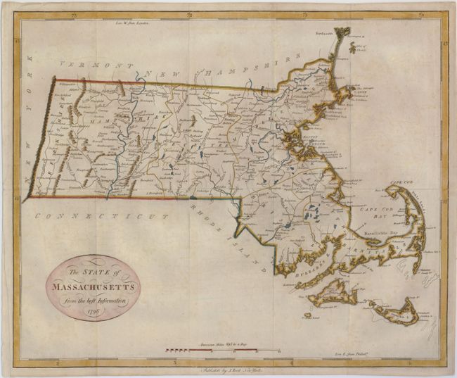
MapMaker: |
John Reid
|
|
| |
| |
Subject: |
Massachusetts |
|
| |
Period/Size: |
1796 / 14.8" x 18.0" (37.6 x 45.8 cm)
|
|
| |
Color: |
Colored
|
|
| |
Condition: |
(+B) An attractive map issued folding, now flattened with fold intersections reinforced with tissue on the verso. The left margin has some paper added to the binding trim to better accommodate framing. It has some faint offsetting, else fine. (condition help) |
|
| |
Source: |
The American Atlas |
|
| |
References: |
Wheat & Brun #219. |
|
| |
|
|
| Sales Information |
| |
| |
Price: |
|
|
| |
| |
Offered by: |
Old World Auctions |
|
| |
Catalog: |
Auction No. 123 - Antique Maps, Charts, Atlases & Globes (652) |
|
| |
Lot/Item #: |
285 |
|
| |
| |
Date: |
02/2008
|
|
| |
| |
|