Title:
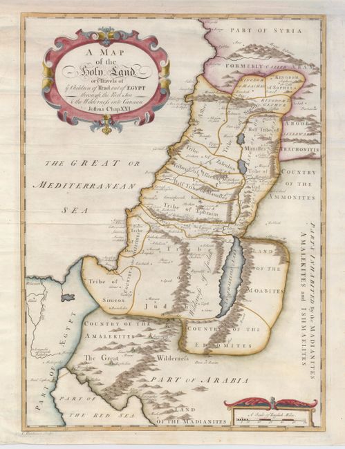
“A Map of the Holy Land or ye Travels of ye Children of Israel out of Egypt through the Red Sea & the Wilderness into Canaan”
Map Maker:
Thomas Hutchinson
An uncommon map of the Holy Land showing the regio... (full text available to subscribers)
| Item Detail |
| |
| |
MapMaker: |
Thomas Hutchinson
|
|
| |
| |
Subject: |
Holy Land |
|
| |
Period/Size: |
1733 / 17.0" x 12.5" (43.2 x 31.8 cm)
|
|
| |
Color: |
Colored
|
|
| |
Condition: |
(A) Issued folding, now flattened. The map has a nice impression on a sheet with a couple minor printer's creases. (condition help) |
|
| |
Source: |
The Works of Flavius Josephus… |
|
| |
References: |
|
|
| |
|
|
| Sales Information |
| |
| |
Price: |
|
|
| |
| |
Offered by: |
Old World Auctions |
|
| |
Catalog: |
Auction No. 123 - Antique Maps, Charts, Atlases & Globes (652) |
|
| |
Lot/Item #: |
684 |
|
| |
| |
Date: |
02/2008
|
|
| |
| |
|
Antique Maps - Valuation and Pricing, Descriptions, Resources |
|
Home |
Information |
Search |
Register |
Contact Us |
Site Map
Americana Exchange, Inc. © 1999 - 2024 Americana Exchange, Inc.. All rights reserved.
OldMaps.com, the OldMaps.com logo and
AMPR are service marks or registered service marks of Americana Exchange, Inc..
|