| Item Detail |
| |
| |
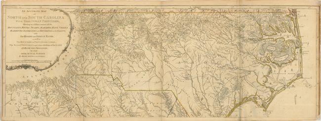
MapMaker: |
Henry Mouzon, Jr.
|
|
| |
| |
Subject: |
Colonial Southeast |
|
| |
Period/Size: |
1775 / 20.5" x 56.5" (52.1 x 143.6 cm)
|
|
| |
Color: |
Colored
|
|
| |
Condition: |
(+B) Original outline color on sound sheets with some toning. Folds reinforced on the verso with archival tissue. The upper map has a repaired lower right corner with a small bit of neatline missing. The lower map is reinforced on the right edge, repai (condition help) |
|
| |
Source: |
The American Atlas |
|
| |
References: |
Cumming (SE) #450; MapForum #4, Carolina #113; Shwartz & Ehrenberg pp. 186-87; Stevens & Tree #11a. |
|
| |
|
|
| Sales Information |
| |
| |
Price: |
|
|
| |
| |
Offered by: |
Old World Auctions |
|
| |
Catalog: |
Auction No. 123 - Antique Maps, Charts, Atlases & Globes (652) |
|
| |
Lot/Item #: |
194 |
|
| |
| |
Date: |
02/2008
|
|
| |
| |
|