| Item Detail |
| |
| |
MapMaker: |
U.S. Government
|
|
| |
| |
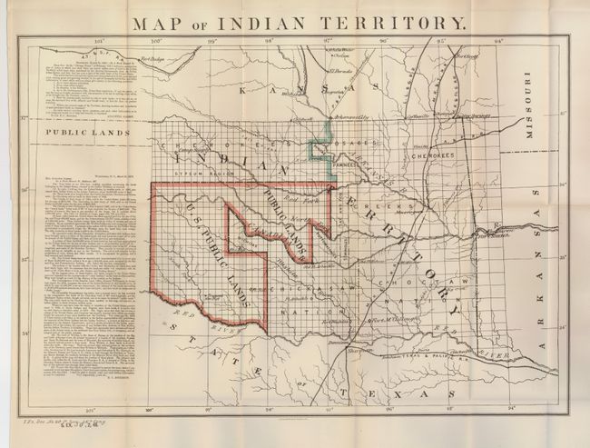
Subject: |
Oklahoma |
|
| |
Period/Size: |
1879 / 16.0" x 22.0" (40.7 x 55.9 cm)
|
|
| |
Color: |
Colored
|
|
| |
Condition: |
(+B) Folding, as issued. Very nice impression and color. Some marginal splits and fold splits closed on verso with archival tape. There is one small tear just past the border in the upper left. (condition help) |
|
| |
Source: |
Sen Ex Doc No. 50, 48th Congress, 2nd Sess [and] Doc 20 46th Congress, 1st Sess |
|
| |
References: |
|
|
| |
|
|
| Sales Information |
| |
| |
Price: |
|
|
| |
| |
Offered by: |
Old World Auctions |
|
| |
Catalog: |
Auction No. 124 - Antique Maps, Charts, Atlases & Globes (653) |
|
| |
Lot/Item #: |
273 |
|
| |
| |
Date: |
05/2008
|
|
| |
| |
|