| Item Detail |
| |
| |
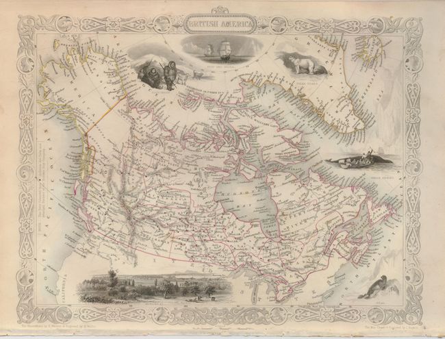
MapMaker: |
John Tallis
|
|
| |
| |
Subject: |
Canada |
|
| |
Period/Size: |
1850 / 10.0" x 13.0" (25.4 x 33.1 cm)
|
|
| |
Color: |
Colored
|
|
| |
Condition: |
(+B) There is a little light marginal soiling. Tallis imprint and extreme bottom edge of paper has surface lifted off from binding paste, not affecting map or border. Nice impression and original outline coloring. (condition help) |
|
| |
Source: |
Illustrated Atlas and Modern History of the World |
|
| |
References: |
|
|
| |
|
|
| Sales Information |
| |
| |
Price: |
|
|
| |
| |
Offered by: |
Old World Auctions |
|
| |
Catalog: |
Auction No. 124 - Antique Maps, Charts, Atlases & Globes (653) |
|
| |
Lot/Item #: |
108 |
|
| |
| |
Date: |
05/2008
|
|
| |
| |
|