| Item Detail |
| |
| |
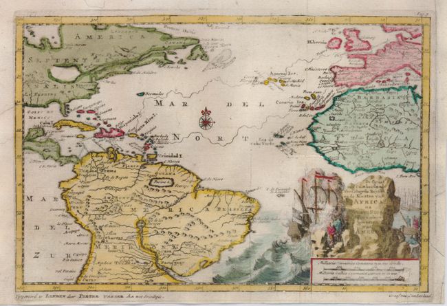
MapMaker: |
Pieter van der Aa
|
|
| |
| |
Subject: |
Atlantic Ocean |
|
| |
Period/Size: |
1700 / 5.8" x 8.8" (14.8 x 22.4 cm)
|
|
| |
Color: |
Colored
|
|
| |
Condition: |
(B) An attractive map, issued folding, now flattened. It has an uneven impression on a sheet with a small, filled worm track just off the coast of Africa and with a small repair on the scale of miles. (condition help) |
|
| |
Source: |
|
|
| |
References: |
|
|
| |
|
|
| Sales Information |
| |
| |
Price: |
|
|
| |
| |
Offered by: |
Old World Auctions |
|
| |
Catalog: |
Auction No. 124 - Antique Maps, Charts, Atlases & Globes (653) |
|
| |
Lot/Item #: |
390 |
|
| |
| |
Date: |
05/2008
|
|
| |
| |
|