| Item Detail |
| |
| |
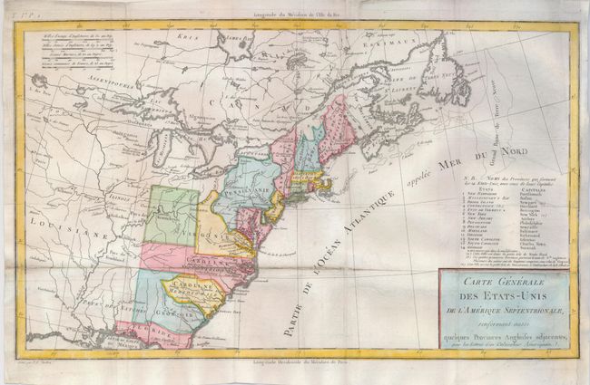
MapMaker: |
Pierre Francois Tardieu
|
|
| |
| |
Subject: |
Eastern United States |
|
| |
Period/Size: |
1787 / 9.8" x 16.3" (24.9 x 41.4 cm)
|
|
| |
Color: |
Colored
|
|
| |
Condition: |
(B) Issued folding, now flattened with a fold separation in the lower third of the map reinforced on the verso with light tissue. Paper has been added to the right binding side to facilitate framing, with a small portion of neatline replaced in facsimile (condition help) |
|
| |
Source: |
Lettres d'un Cultivateur Americain |
|
| |
References: |
McCorkle #787.8; Mapforum 1, Checklist of Early Maps of the US #69; Baynton-Williams (TMC-72) #1. |
|
| |
|
|
| Sales Information |
| |
| |
Price: |
|
|
| |
| |
Offered by: |
Old World Auctions |
|
| |
Catalog: |
Auction No. 124 - Antique Maps, Charts, Atlases & Globes (653) |
|
| |
Lot/Item #: |
136 |
|
| |
| |
Date: |
05/2008
|
|
| |
| |
|