| Item Detail |
| |
| |
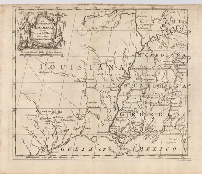
MapMaker: |
George Rollos
|
|
| |
| |
Subject: |
Colonial Central and Southern United States |
|
| |
Period/Size: |
1760 / 7.2" x 8.5" (18.3 x 21.6 cm)
|
|
| |
Color: |
Black & White
|
|
| |
Condition: |
(+B) A good impression on a sound sheet, issued folding with a binding trim at top near the neatline. Some very faint offsetting, else very good. (condition help) |
|
| |
Source: |
British Magazine |
|
| |
References: |
Jolly, BRITB-2. |
|
| |
|
|
| Sales Information |
| |
| |
Price: |
|
|
| |
| |
Offered by: |
Old World Auctions |
|
| |
Catalog: |
Auction No. 124 - Antique Maps, Charts, Atlases & Globes (653) |
|
| |
Lot/Item #: |
154 |
|
| |
| |
Date: |
05/2008
|
|
| |
| |
|