| Item Detail |
| |
| |
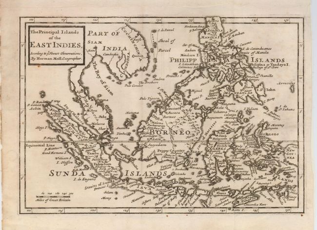
MapMaker: |
Herman Moll
|
|
| |
| |
Subject: |
East Indies - Indonesia |
|
| |
Period/Size: |
1712 / 7.0" x 10.0" (17.8 x 25.4 cm)
|
|
| |
Color: |
Black & White
|
|
| |
Condition: |
(+B) Printed on thin paper and issued folded. There is some faint toning and a couple of tiny rust spots in the map. (condition help) |
|
| |
Source: |
Atlas geographus, or a Compleat System of Geography |
|
| |
References: |
|
|
| |
|
|
| Sales Information |
| |
| |
Price: |
|
|
| |
| |
Offered by: |
Old World Auctions |
|
| |
Catalog: |
Auction No. 124 - Antique Maps, Charts, Atlases & Globes (653) |
|
| |
Lot/Item #: |
672 |
|
| |
| |
Date: |
05/2008
|
|
| |
| |
|