| Item Detail |
| |
| |
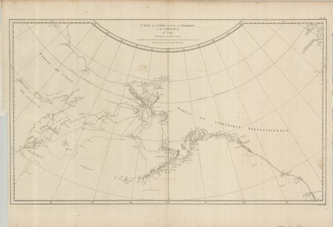
MapMaker: |
Cook/Benard
|
|
| |
| |
Subject: |
North Pacific Ocean |
|
| |
Period/Size: |
1785 / 15.2" x 26.0" (38.6 x 66.1 cm)
|
|
| |
Color: |
Black & White
|
|
| |
Condition: |
(+B) Folding, as issued. Delicate impression on thick hand laid paper with original margins. There are a couple of minor light spots in map. The binding trim runs along the platemark at lower left leaving adequate margin for framing. (condition help) |
|
| |
Source: |
|
|
| |
References: |
|
|
| |
|
|
| Sales Information |
| |
| |
Price: |
|
|
| |
| |
Offered by: |
Old World Auctions |
|
| |
Catalog: |
Auction No. 124 - Antique Maps, Charts, Atlases & Globes (653) |
|
| |
Lot/Item #: |
707 |
|
| |
| |
Date: |
05/2008
|
|
| |
| |
|