| Item Detail |
| |
| |
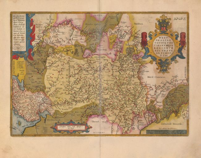
MapMaker: |
Abraham Ortelius
|
|
| |
| |
Subject: |
Germany |
|
| |
Period/Size: |
1579 / 13.5" x 19.5" (34.3 x 49.6 cm)
|
|
| |
Color: |
Colored
|
|
| |
Condition: |
(B) The map has original color, which has oxidized, leading to some irregular toning and a couple verdigris cracks that are reinforced on the verso with archival tape. The wide original margins have a couple of short tears, not affecting the map. (condition help) |
|
| |
Source: |
Theatrum Orbis Terrarum |
|
| |
References: |
Van den Broecke #91. |
|
| |
|
|
| Sales Information |
| |
| |
Price: |
|
|
| |
| |
Offered by: |
Old World Auctions |
|
| |
Catalog: |
Auction No. 124 - Antique Maps, Charts, Atlases & Globes (653) |
|
| |
Lot/Item #: |
499 |
|
| |
| |
Date: |
05/2008
|
|
| |
| |
|