| Item Detail |
| |
| |
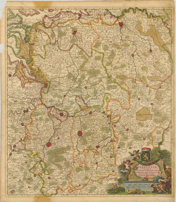
MapMaker: |
Justus Danckerts
|
|
| |
| |
Subject: |
Low Countries |
|
| |
Period/Size: |
1700 / 22.3" x 19.5" (56.7 x 49.6 cm)
|
|
| |
Color: |
Colored
|
|
| |
Condition: |
(+C) Nice original color and impression. The map has a few worm tracks with some loss in the right border, with an old paper repair. There are some marginal stains that encroach slightly into the map and there is some paper loss coming within 1/8" of th (condition help) |
|
| |
Source: |
|
|
| |
References: |
|
|
| |
|
|
| Sales Information |
| |
| |
Price: |
|
|
| |
| |
Offered by: |
Old World Auctions |
|
| |
Catalog: |
Auction No. 124 - Antique Maps, Charts, Atlases & Globes (653) |
|
| |
Lot/Item #: |
443 |
|
| |
| |
Date: |
05/2008
|
|
| |
| |
|