| Item Detail |
| |
| |
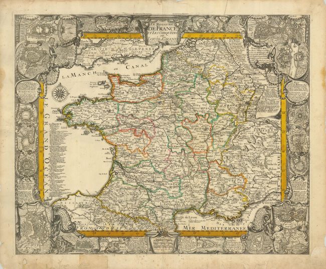
MapMaker: |
Tobias Conrad Lotter
|
|
| |
| |
Subject: |
France |
|
| |
Period/Size: |
1760 / 17.8" x 22.0" (45.3 x 55.9 cm)
|
|
| |
Color: |
Colored
|
|
| |
Condition: |
(B) Original outline color and a dark impression. The margins have some worming and some tears, one entering the map at top about 1", most repaired on the verso with paper. The map has a few minor spots. (condition help) |
|
| |
Source: |
|
|
| |
References: |
|
|
| |
|
|
| Sales Information |
| |
| |
Price: |
|
|
| |
| |
Offered by: |
Old World Auctions |
|
| |
Catalog: |
Auction No. 124 - Antique Maps, Charts, Atlases & Globes (653) |
|
| |
Lot/Item #: |
475 |
|
| |
| |
Date: |
05/2008
|
|
| |
| |
|