| Item Detail |
| |
| |
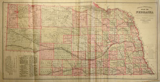
MapMaker: |
Everts Publishing
|
|
| |
| |
Subject: |
Atlases, Nebraska |
|
| |
Period/Size: |
1885 / 18.0" x 15.0" (45.8 x 38.1 cm)
|
|
| |
Color: |
Colored
|
|
| |
Condition: |
(+B) The maps are generally very good to fine. The foldout map is loose, with some ragged edges, not affecting the image. The covers and spine are separated and the first signature is disbound which includes the blank end papers, title page, Preface, Co (condition help) |
|
| |
Source: |
|
|
| |
References: |
Phillips (A) 2107; Phillips (M), pg. 461. |
|
| |
|
|
| Sales Information |
| |
| |
Price: |
|
|
| |
| |
Offered by: |
Old World Auctions |
|
| |
Catalog: |
Auction No. 124 - Antique Maps, Charts, Atlases & Globes (653) |
|
| |
Lot/Item #: |
755 |
|
| |
| |
Date: |
05/2008
|
|
| |
| |
|