| Item Detail |
| |
| |
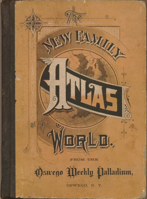
MapMaker: |
Rand, McNally & Co.
|
|
| |
| |
Subject: |
Atlases |
|
| |
Period/Size: |
1885 / 10.0" x 7.5" (25.4 x 19.1 cm)
|
|
| |
Color: |
Colored
|
|
| |
Condition: |
(+B) The maps and text pages are very good with just a few showing light toning or an occasional spot. One signature has separated from the binding, but would be easy to repair. The covers are soiled and shelf worn with some loss of paper at edges. (condition help) |
|
| |
Source: |
|
|
| |
References: |
|
|
| |
|
|
| Sales Information |
| |
| |
Price: |
|
|
| |
| |
Offered by: |
Old World Auctions |
|
| |
Catalog: |
Auction No. 124 - Antique Maps, Charts, Atlases & Globes (653) |
|
| |
Lot/Item #: |
756 |
|
| |
| |
Date: |
05/2008
|
|
| |
| |
|