| Item Detail |
| |
| |
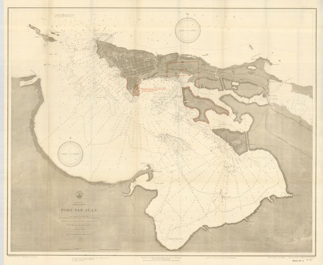
MapMaker: |
U.S. Navy
|
|
| |
| |
Subject: |
Puerto Rico |
|
| |
Period/Size: |
1900 / 24.8" x 30.0" (63.0 x 76.2 cm)
|
|
| |
Color: |
Colored
|
|
| |
Condition: |
(A+) Folding as issued with full margins. Lovely example with a narrow strip of archival tape on verso of one fold, still fine. (condition help) |
|
| |
Source: |
Hydrographic Office (Navy 56th Congress, 2nd Session) |
|
| |
References: |
|
|
| |
|
|
| Sales Information |
| |
| |
Price: |
|
|
| |
| |
Offered by: |
Old World Auctions |
|
| |
Catalog: |
Auction No. 124 - Antique Maps, Charts, Atlases & Globes (653) |
|
| |
Lot/Item #: |
354 |
|
| |
| |
Date: |
05/2008
|
|
| |
| |
|