| Item Detail |
| |
| |
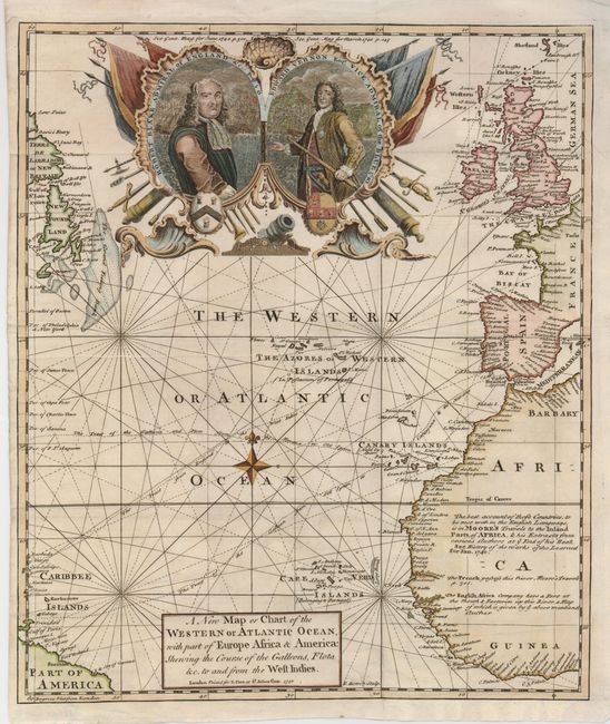
MapMaker: |
Emanuel Bowen
|
|
| |
| |
Subject: |
Atlantic Ocean |
|
| |
Period/Size: |
1740 / 13.8" x 10.8" (35.1 x 27.5 cm)
|
|
| |
Color: |
Colored
|
|
| |
Condition: |
(+B) A nice impression on a strong sheet. The lower binding edge has paper to facilitate framing, and a binding tear about 4.5" into the map has been professionally, and nearly invisibly, repaired. (condition help) |
|
| |
Source: |
Gentleman's Magazine |
|
| |
References: |
Jolly GENT-14. |
|
| |
|
|
| Sales Information |
| |
| |
Price: |
|
|
| |
| |
Offered by: |
Old World Auctions |
|
| |
Catalog: |
Auction No. 124 - Antique Maps, Charts, Atlases & Globes (653) |
|
| |
Lot/Item #: |
391 |
|
| |
| |
Date: |
05/2008
|
|
| |
| |
|