| Item Detail |
| |
| |
MapMaker: |
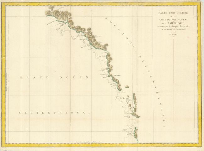
Jean Francois Galaup de La Perouse
|
|
| |
| |
Subject: |
Western Canada and United States |
|
| |
Period/Size: |
1797 / 19.5" x 27.0" (49.6 x 68.6 cm)
|
|
| |
Color: |
Colored
|
|
| |
Condition: |
(+B) Issued folding, now flattened. Two corners clipped, not affecting map. A couple short fold separations, not affecting the map and repaired on the verso with archival tape. (condition help) |
|
| |
Source: |
Atlas du Voyage de la Perouse |
|
| |
References: |
Wagner #841. |
|
| |
|
|
| Sales Information |
| |
| |
Price: |
|
|
| |
| |
Offered by: |
Old World Auctions |
|
| |
Catalog: |
Auction No. 124 - Antique Maps, Charts, Atlases & Globes (653) |
|
| |
Lot/Item #: |
117 |
|
| |
| |
Date: |
05/2008
|
|
| |
| |
|