| Item Detail |
| |
| |
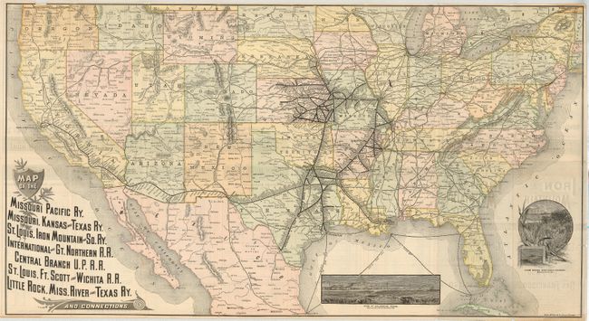
MapMaker: |
Rand, McNally & Co.
|
|
| |
| |
Subject: |
United States |
|
| |
Period/Size: |
1887 / 16.8" x 30.8" (42.7 x 78.3 cm)
|
|
| |
Color: |
Colored
|
|
| |
Condition: |
(+B) This is a lovely example that is in near fine condition. A couple very small fold intersection splits, and one bit of loss on the right of the map, jus into the neatline. (condition help) |
|
| |
Source: |
|
|
| |
References: |
|
|
| |
|
|
| Sales Information |
| |
| |
Price: |
|
|
| |
| |
Offered by: |
Old World Auctions |
|
| |
Catalog: |
Auction No. 125 - Antique Maps, Charts, Atlases & Globes (654) |
|
| |
Lot/Item #: |
152 |
|
| |
| |
Date: |
09/2008
|
|
| |
| |
|