| Item Detail |
| |
| |
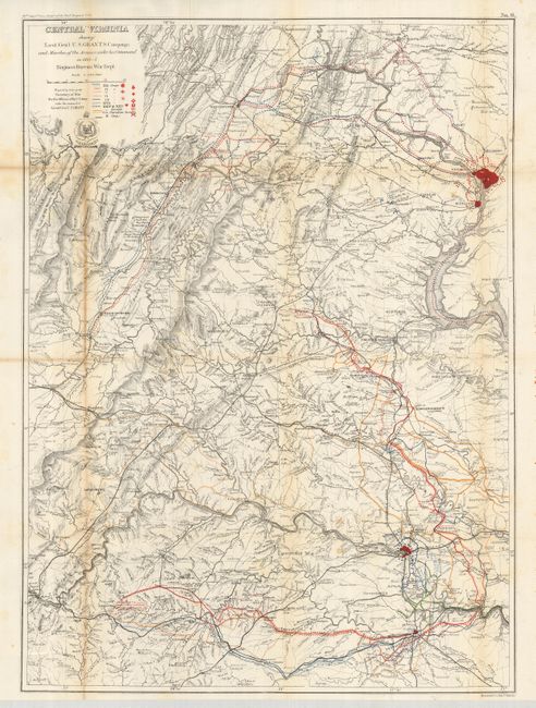
MapMaker: |
U.S. Army
|
|
| |
| |
Subject: |
Virginia - Civil War |
|
| |
Period/Size: |
1864-5 / 31.3" x 22.8" (79.5 x 58.0 cm)
|
|
| |
Color: |
Colored
|
|
| |
Condition: |
(+B) A couple folds with light toning, one a little heaver. A couple very small fold intersection splits or holes and a couple fold splits all closed on blank verso. Folding as issued. (condition help) |
|
| |
Source: |
Report of Chief Engineer U.S.A., 39th Congress, 1st Session |
|
| |
References: |
|
|
| |
|
|
| Sales Information |
| |
| |
Price: |
|
|
| |
| |
Offered by: |
Old World Auctions |
|
| |
Catalog: |
Auction No. 125 - Antique Maps, Charts, Atlases & Globes (654) |
|
| |
Lot/Item #: |
321 |
|
| |
| |
Date: |
09/2008
|
|
| |
| |
|