Title:
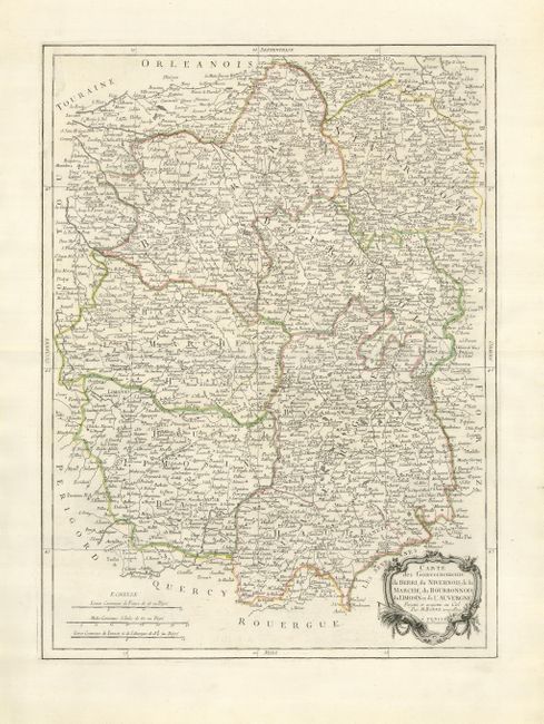
“Carte des Gouvernements du Berri, du Nivernois, de la Marche, du Bourbonnois, du Limonsin et de l'Auvengne”
Map Maker:
Paolo Santini
Attractive, large map based on the smaller edition... (full text available to subscribers)
| Item Detail |
| |
| |
MapMaker: |
Paolo Santini
|
|
| |
| |
Subject: |
France |
|
| |
Period/Size: |
1777 / 23.0" x 17.0" (58.5 x 43.2 cm)
|
|
| |
Color: |
Colored
|
|
| |
Condition: |
(A+) A superb example with a nice impression and original outline color on fine laid paper. Original outline color. (condition help) |
|
| |
Source: |
|
|
| |
References: |
|
|
| |
|
|
| Sales Information |
| |
| |
Price: |
|
|
| |
| |
Offered by: |
Old World Auctions |
|
| |
Catalog: |
Auction No. 125 - Antique Maps, Charts, Atlases & Globes (654) |
|
| |
Lot/Item #: |
569 |
|
| |
| |
Date: |
09/2008
|
|
| |
| |
|
Antique Maps - Valuation and Pricing, Descriptions, Resources |
|
Home |
Information |
Search |
Register |
Contact Us |
Site Map
Americana Exchange, Inc. © 1999 - 2024 Americana Exchange, Inc.. All rights reserved.
OldMaps.com, the OldMaps.com logo and
AMPR are service marks or registered service marks of Americana Exchange, Inc..
|