| Item Detail |
| |
| |
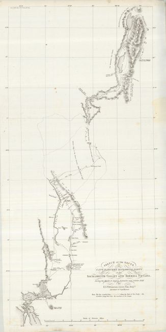
MapMaker: |
Robert S. Williamson
|
|
| |
| |
Subject: |
California |
|
| |
Period/Size: |
1849 / 27.5" x 11.0" (69.9 x 28.0 cm)
|
|
| |
Color: |
Black & White
|
|
| |
Condition: |
(+B) A very nice copy with clean paper and original margins. Originally folded now pressed. A few light foxing spots and a small stain in right margin. (condition help) |
|
| |
Source: |
Senate Doc. 47, 31st Congress, 1st Session |
|
| |
References: |
Wheat (TMW) #700; Wheat (Gold) #182. |
|
| |
|
|
| Sales Information |
| |
| |
Price: |
|
|
| |
| |
Offered by: |
Old World Auctions |
|
| |
Catalog: |
Auction No. 125 - Antique Maps, Charts, Atlases & Globes (654) |
|
| |
Lot/Item #: |
236 |
|
| |
| |
Date: |
09/2008
|
|
| |
| |
|