| Item Detail |
| |
| |
MapMaker: |
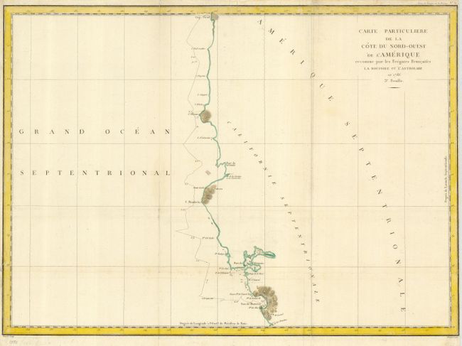
Jean Francois Galaup de La Perouse
|
|
| |
| |
Subject: |
Northwestern United States |
|
| |
Period/Size: |
1797 / 19.5" x 27.0" (49.6 x 68.6 cm)
|
|
| |
Color: |
Colored
|
|
| |
Condition: |
(+B) Issued folding, now flattened. Very good impression. Close margin at right, as issued with tiny fold separation into border. Binding tear at lower left, closed on verso with archival tape. (condition help) |
|
| |
Source: |
Atlas du Voyage de la Perouse |
|
| |
References: |
Wagner #845. |
|
| |
|
|
| Sales Information |
| |
| |
Price: |
|
|
| |
| |
Offered by: |
Old World Auctions |
|
| |
Catalog: |
Auction No. 125 - Antique Maps, Charts, Atlases & Globes (654) |
|
| |
Lot/Item #: |
217 |
|
| |
| |
Date: |
09/2008
|
|
| |
| |
|