Title:
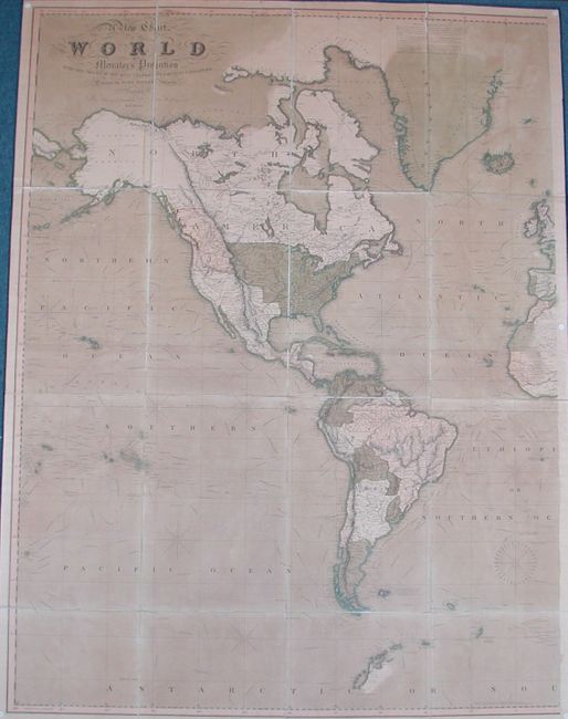
“A New Chart of the World on Mercator's Projection with the Tracks of the Most Celebrated & Recent Navigators”
Map Maker:
Henry Teesdale [& Co.]
This excellent, large British map of the world on ... (full text available to subscribers)
| Item Detail |
| |
| |
MapMaker: |
Henry Teesdale [& Co.]
|
|
| |
| |
Subject: |
World |
|
| |
Period/Size: |
1837 / 50.0" x 37.5" (127.0 x 95.3 cm)
|
|
| |
Color: |
Colored
|
|
| |
Condition: |
(+B) The original color is slightly oxidized but the paper is very sturdy. The linen is very sound and even the edge ribbons are completely intact. The maps have been removed from the boards and there is evidence of tack holes in the corners. The cove (condition help) |
|
| |
Source: |
|
|
| |
References: |
|
|
| |
|
|
| Sales Information |
| |
| |
Price: |
|
|
| |
| |
Offered by: |
Old World Auctions |
|
| |
Catalog: |
Auction No. 125 - Antique Maps, Charts, Atlases & Globes (654) |
|
| |
Lot/Item #: |
041 |
|
| |
| |
Date: |
09/2008
|
|
| |
| |
|
Antique Maps - Valuation and Pricing, Descriptions, Resources |
|
Home |
Information |
Search |
Register |
Contact Us |
Site Map
Americana Exchange, Inc. © 1999 - 2024 Americana Exchange, Inc.. All rights reserved.
OldMaps.com, the OldMaps.com logo and
AMPR are service marks or registered service marks of Americana Exchange, Inc..
|