| Item Detail |
| |
| |
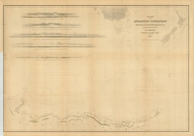
MapMaker: |
Charles Wilkes
|
|
| |
| |
Subject: |
South Pole |
|
| |
Period/Size: |
1840 / 23.5" x 34.3" (59.7 x 87.2 cm)
|
|
| |
Color: |
Black & White
|
|
| |
Condition: |
(B) Most folds are a little weak with some marginal splits. Toned and a little offsetting from title. (condition help) |
|
| |
Source: |
Atlas...of the United States Exploring Expedition...1838, 1839, 1840, 1841, 1842 |
|
| |
References: |
Rumsey #4442. |
|
| |
|
|
| Sales Information |
| |
| |
Price: |
|
|
| |
| |
Offered by: |
Old World Auctions |
|
| |
Catalog: |
Auction No. 126 - Antique Maps, Charts, Atlases & Globes (655) |
|
| |
Lot/Item #: |
049 |
|
| |
| |
Date: |
12/2008
|
|
| |
| |
|