| Item Detail |
| |
| |
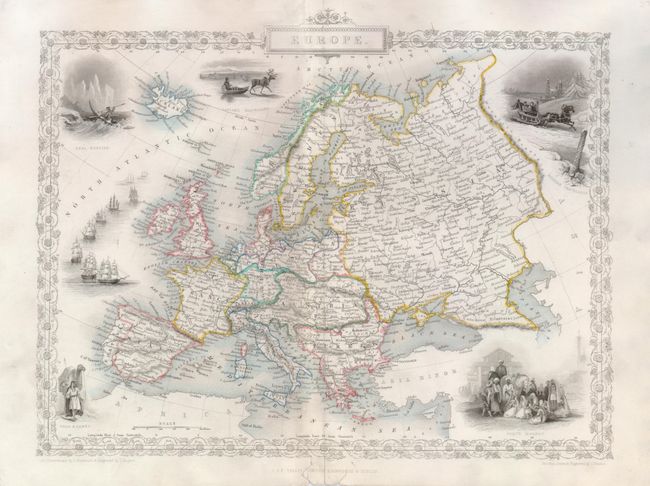
MapMaker: |
John Tallis
|
|
| |
| |
Subject: |
Europe |
|
| |
Period/Size: |
1851 / 9.5" x 12.5" (24.2 x 31.8 cm)
|
|
| |
Color: |
Colored
|
|
| |
Condition: |
(+B) Fine color and nice impression with full margins. Two short marginal tears at bottom along centerfold and centerfold split expertly repaired on verso. (condition help) |
|
| |
Source: |
Illustrated Atlas and Modern History of the World |
|
| |
References: |
|
|
| |
|
|
| Sales Information |
| |
| |
Price: |
|
|
| |
| |
Offered by: |
Old World Auctions |
|
| |
Catalog: |
Auction No. 126 - Antique Maps, Charts, Atlases & Globes (655) |
|
| |
Lot/Item #: |
452 |
|
| |
| |
Date: |
12/2008
|
|
| |
| |
|