| Item Detail |
| |
| |
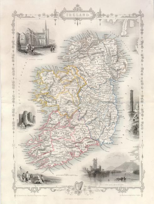
MapMaker: |
John Tallis
|
|
| |
| |
Subject: |
Ireland |
|
| |
Period/Size: |
1851 / 11.8" x 8.5" (30.0 x 21.6 cm)
|
|
| |
Color: |
Colored
|
|
| |
Condition: |
(A) Fine original outline color on a sheet with full margins that are wider than normally found on Tallis' maps. The vignettes are in original unadulterated b&w state. Centerfold split expertly and invisibly repaired on verso. A near fine example. (condition help) |
|
| |
Source: |
Illustrated Atlas and Modern History of the World |
|
| |
References: |
|
|
| |
|
|
| Sales Information |
| |
| |
Price: |
|
|
| |
| |
Offered by: |
Old World Auctions |
|
| |
Catalog: |
Auction No. 126 - Antique Maps, Charts, Atlases & Globes (655) |
|
| |
Lot/Item #: |
490 |
|
| |
| |
Date: |
12/2008
|
|
| |
| |
|