| Item Detail |
| |
| |
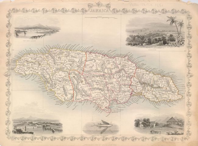
MapMaker: |
John Tallis
|
|
| |
| |
Subject: |
Jamaica |
|
| |
Period/Size: |
1851 / 10.3" x 13.5" (26.2 x 34.3 cm)
|
|
| |
Color: |
Colored
|
|
| |
Condition: |
(+B) The map image is near fine. Toned margins with some roughness in upper margins. Two small watermarks in lower right margin. Borders and vignettes in original uncolored state. (condition help) |
|
| |
Source: |
Illustrated Atlas and Modern History of the World |
|
| |
References: |
|
|
| |
|
|
| Sales Information |
| |
| |
Price: |
|
|
| |
| |
Offered by: |
Old World Auctions |
|
| |
Catalog: |
Auction No. 126 - Antique Maps, Charts, Atlases & Globes (655) |
|
| |
Lot/Item #: |
394 |
|
| |
| |
Date: |
12/2008
|
|
| |
| |
|