| Item Detail |
| |
| |
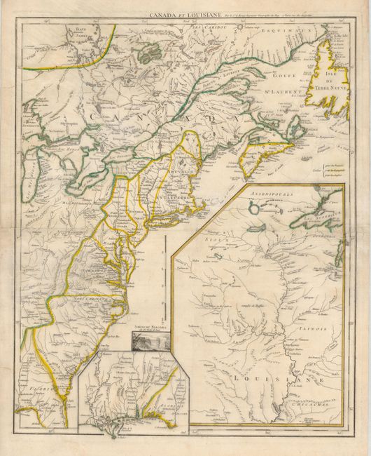
MapMaker: |
George Louis Le Rouge
|
|
| |
| |
Subject: |
Colonial United States and Canada |
|
| |
Period/Size: |
1755 / 24.3" x 19.5" (61.8 x 49.6 cm)
|
|
| |
Color: |
Colored
|
|
| |
Condition: |
(B) There is a small, unobtrusive hole in a blank area near Cape Cod and some short tears in the margins and the centerfold. The map has been backed with 18th century paper, apparently for binding into a composite atlas. The backing repairs all the fla (condition help) |
|
| |
Source: |
Recueil Contenant Cartes Nouvelles… |
|
| |
References: |
McCorkle #755.23; Sellers and Van Ee #33. |
|
| |
|
|
| Sales Information |
| |
| |
Price: |
|
|
| |
| |
Offered by: |
Old World Auctions |
|
| |
Catalog: |
Auction No. 126 - Antique Maps, Charts, Atlases & Globes (655) |
|
| |
Lot/Item #: |
122 |
|
| |
| |
Date: |
12/2008
|
|
| |
| |
|