Title:
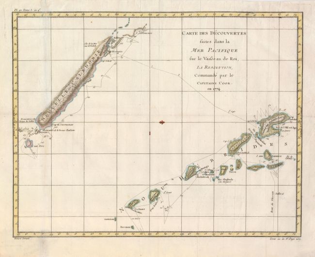
“Carte des Decouvertes faites dans la Mer Pacifique sur la Vaisseau de Roi, La Resolution, Commande par le Capitaine Cook en 1774”
Map Maker:
James Cook
Delicately engraved exploration chart details the ... (full text available to subscribers)
| Item Detail |
| |
| |
MapMaker: |
James Cook
|
|
| |
| |
Subject: |
South Pacific Ocean |
|
| |
Period/Size: |
1778 / 14.0" x 18.0" (35.6 x 45.8 cm)
|
|
| |
Color: |
Colored
|
|
| |
Condition: |
(+B) Issued folded, now flattened with a tissue reinforced fold and a few minor extraneous creases. (condition help) |
|
| |
Source: |
La Harpe's Abrege de l'histoire generale des voyages |
|
| |
References: |
|
|
| |
|
|
| Sales Information |
| |
| |
Price: |
|
|
| |
| |
Offered by: |
Old World Auctions |
|
| |
Catalog: |
Auction No. 126 - Antique Maps, Charts, Atlases & Globes (655) |
|
| |
Lot/Item #: |
787 |
|
| |
| |
Date: |
12/2008
|
|
| |
| |
|
Antique Maps - Valuation and Pricing, Descriptions, Resources |
|
Home |
Information |
Search |
Register |
Contact Us |
Site Map
Americana Exchange, Inc. © 1999 - 2024 Americana Exchange, Inc.. All rights reserved.
OldMaps.com, the OldMaps.com logo and
AMPR are service marks or registered service marks of Americana Exchange, Inc..
|