| Item Detail |
| |
| |
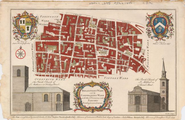
MapMaker: |
Benjamin Cole
|
|
| |
| |
Subject: |
England, London |
|
| |
Period/Size: |
1755 / 9.0" x 14.3" (22.9 x 36.4 cm)
|
|
| |
Color: |
Colored
|
|
| |
Condition: |
(+B) The image is very good with strong impression and fine color. The margins are a little soiled, close trimmed at bottom (perhaps as issued), rough edges at right, a small piece of paper missing from lower left margin not affecting image. Despite the (condition help) |
|
| |
Source: |
Maitland's History and Survey of London |
|
| |
References: |
|
|
| |
|
|
| Sales Information |
| |
| |
Price: |
|
|
| |
| |
Offered by: |
Old World Auctions |
|
| |
Catalog: |
Auction No. 127 - Antique Maps, Charts, Atlases & Globes (678) |
|
| |
Lot/Item #: |
470 |
|
| |
| |
Date: |
02/2009
|
|
| |
| |
|