| Item Detail |
| |
| |
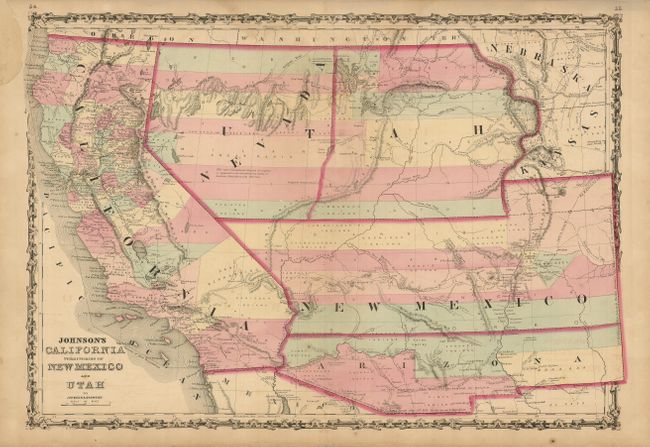
MapMaker: |
Johnson & Browning
|
|
| |
| |
Subject: |
Southwestern United States |
|
| |
Period/Size: |
1861 / 17.0" x 24.5" (43.2 x 62.3 cm)
|
|
| |
Color: |
Colored
|
|
| |
Condition: |
(+B) Very nice impression with original color and full margins. Paper missing (3" x 1") in blank upper left margin with paper laid in back, and the faintest hint of offsetting visible in blank area near title. The map shows very well. (condition help) |
|
| |
Source: |
Illustrated Family Atlas |
|
| |
References: |
Wheat [TMW] #1027. |
|
| |
|
|
| Sales Information |
| |
| |
Price: |
|
|
| |
| |
Offered by: |
Old World Auctions |
|
| |
Catalog: |
Auction No. 127 - Antique Maps, Charts, Atlases & Globes (678) |
|
| |
Lot/Item #: |
248 |
|
| |
| |
Date: |
02/2009
|
|
| |
| |
|