| Item Detail |
| |
| |
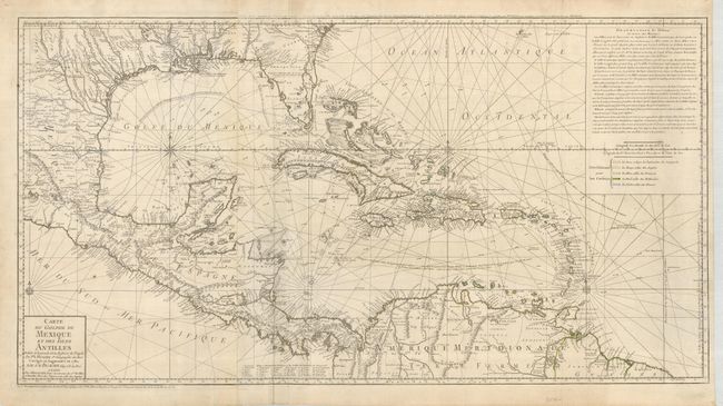
MapMaker: |
Buache/Dezauche
|
|
| |
| |
Subject: |
Gulf of Mexico and Caribbean |
|
| |
Period/Size: |
1780 / 19.3" x 36.0" (49.1 x 91.5 cm)
|
|
| |
Color: |
Black & White
|
|
| |
Condition: |
(+B) Very nice impression printed on strong paper with original color in outline. The hand color is a little faded or was weakly applied. Soft crease beside centerfold, a couple of edge tears closed on verso, and title above neatline was weakly printed. (condition help) |
|
| |
Source: |
|
|
| |
References: |
Sellers & Van Ee #1707; Tooley (Amer) p. 29, #92. |
|
| |
|
|
| Sales Information |
| |
| |
Price: |
|
|
| |
| |
Offered by: |
Old World Auctions |
|
| |
Catalog: |
Auction No. 127 - Antique Maps, Charts, Atlases & Globes (678) |
|
| |
Lot/Item #: |
380 |
|
| |
| |
Date: |
02/2009
|
|
| |
| |
|