Title:
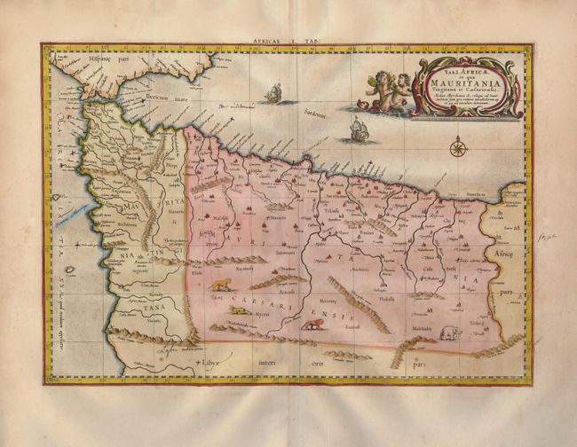
“Tab. I. Africae, in qua Mauritania Tingitana et Caesariensis…”
Map Maker:
Ptolemy/Mercator
Mercator's fine engraving style is evident on this... (full text available to subscribers)
| Item Detail |
| |
| |
MapMaker: |
Ptolemy/Mercator
|
|
| |
| |
Subject: |
Northwestern Africa |
|
| |
Period/Size: |
1730 / 12.6" x 18.0" (32.0 x 45.8 cm)
|
|
| |
Color: |
Colored
|
|
| |
Condition: |
(B) There are several unobtrusive notations in ink and some light scattered foxing. (condition help) |
|
| |
Source: |
Claudii Ptolemaei's Atlas Tabulae geographicae Orbis Terrarum |
|
| |
References: |
Mickwitz & Miekkavaara (Nordenskiold-2) #235-2. |
|
| |
|
|
| Sales Information |
| |
| |
Price: |
|
|
| |
| |
Offered by: |
Old World Auctions |
|
| |
Catalog: |
Auction No. 127 - Antique Maps, Charts, Atlases & Globes (678) |
|
| |
Lot/Item #: |
768 |
|
| |
| |
Date: |
02/2009
|
|
| |
| |
|
Antique Maps - Valuation and Pricing, Descriptions, Resources |
|
Home |
Information |
Search |
Register |
Contact Us |
Site Map
Americana Exchange, Inc. © 1999 - 2024 Americana Exchange, Inc.. All rights reserved.
OldMaps.com, the OldMaps.com logo and
AMPR are service marks or registered service marks of Americana Exchange, Inc..
|