| Item Detail |
| |
| |
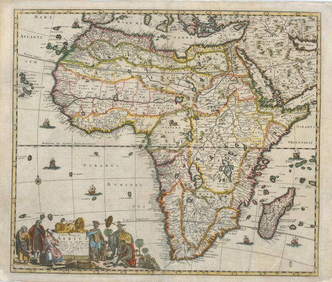
MapMaker: |
Lea & Overton
|
|
| |
| |
Subject: |
Africa |
|
| |
Period/Size: |
1690 / 19.0" x 22.0" (48.3 x 55.9 cm)
|
|
| |
Color: |
Colored
|
|
| |
Condition: |
(+C) The map has some old, and now very faint, brown ink notations on the verso of the left side and on the map at bottom. Some pastel has been applied over the ink. There are a couple of minor cracks resulting from oxidation of the green outline color. (condition help) |
|
| |
Source: |
An Atlas Contining ye Best Maps of the Several Parts of the World |
|
| |
References: |
Betz #141.2; Phillips (A) #4271-3. |
|
| |
|
|
| Sales Information |
| |
| |
Price: |
|
|
| |
| |
Offered by: |
Old World Auctions |
|
| |
Catalog: |
Auction No. 127 - Antique Maps, Charts, Atlases & Globes (678) |
|
| |
Lot/Item #: |
753 |
|
| |
| |
Date: |
02/2009
|
|
| |
| |
|