| Item Detail |
| |
| |
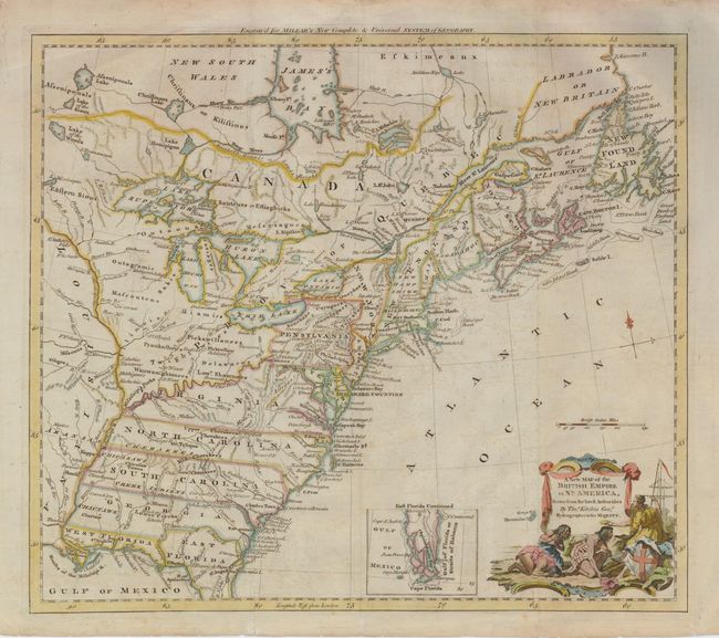
MapMaker: |
Thomas Kitchin
|
|
| |
| |
Subject: |
Colonial United States and Canada |
|
| |
Period/Size: |
1782 / 13.0" x 15.0" (33.1 x 38.1 cm)
|
|
| |
Color: |
Colored
|
|
| |
Condition: |
(+B) Issued folding, now flattened. There is some faint offsetting, else very good. (condition help) |
|
| |
Source: |
Millar's New Complete & Universal System of Geography |
|
| |
References: |
McCorkle #782.10; Sellers & Van Ee #180. |
|
| |
|
|
| Sales Information |
| |
| |
Price: |
|
|
| |
| |
Offered by: |
Old World Auctions |
|
| |
Catalog: |
Auction No. 127 - Antique Maps, Charts, Atlases & Globes (678) |
|
| |
Lot/Item #: |
136 |
|
| |
| |
Date: |
02/2009
|
|
| |
| |
|