| Item Detail |
| |
| |
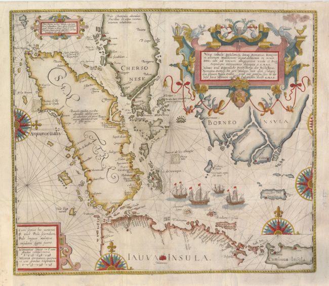
MapMaker: |
Theodore de Bry
|
|
| |
| |
Subject: |
East Indies - Indonesia |
|
| |
Period/Size: |
1598 / 14.8" x 17.0" (37.6 x 43.2 cm)
|
|
| |
Color: |
Colored
|
|
| |
Condition: |
(A) Issued folding, now flattened, with some tissue reinforced fold intersections. The binding trim at lower left has been extended to accommodate framing. (condition help) |
|
| |
Source: |
Petits Voyages, Part II |
|
| |
References: |
Garratt (TMC-9) p. 9-10, #P4; Suarez (SEA) p.181-82, fig.95. |
|
| |
|
|
| Sales Information |
| |
| |
Price: |
|
|
| |
| |
Offered by: |
Old World Auctions |
|
| |
Catalog: |
Auction No. 127 - Antique Maps, Charts, Atlases & Globes (678) |
|
| |
Lot/Item #: |
740 |
|
| |
| |
Date: |
02/2009
|
|
| |
| |
|