Rister or Sign In to see pricing information


Title:

Carte des Cercles du Haut et du Bas Rhin ou se trouvent dans le premier…

Map Maker:

Didier Robert de Vaugondy

Carte des Cercles du Haut et du Bas Rhin ou se trouvent dans le premier…

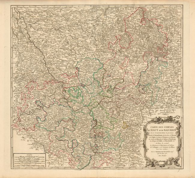
Large and very detailed map of the Rheinland-Pfalz... (full text available to subscribers)
Item Detail
 
  MapMaker:  

Didier Robert de Vaugondy


  Subject:  Germany  
  Period/Size:  1753 / 18.8" x 19.8"  (47.8 x 50.3 cm)  
  Color:  Colored  
  Condition:  (A) Nice impression and original outline color. Couple of minor tears in margins, well away from map. (condition help)  
  Source:  Atlas Universal  
  References:  Pedley #267.  
 
 
Sales Information
 
  Price: 

Please register your email to view records, or sign in with email address to see records


  Offered by:  Old World Auctions  
  Catalog:  Auction No. 128 - Antique Maps, Charts, Atlases & Globes (679)  
  Lot/Item #:  662  
 
  Date:  05/2009  


Antique Maps - Valuation and Pricing, Descriptions, Resources


Home | Information | Search | Register | Contact Us | Site Map

Americana Exchange, Inc. © 1999 - 2024 Americana Exchange, Inc.. All rights reserved. OldMaps.com, the OldMaps.com logo and
AMPR are service marks or registered service marks of Americana Exchange, Inc..